Both Bogdanitika and Magazia are good starting points if you wish to walk the rugged west coast of Paxos, although the best views of this area are from a boat. Walking west of Bogdanatika, is the tiny beach in Avlaki Creek, part of the Bay of Agrilas/Prasses. South of Bogdanatika is the smaller settlement of Makratika where one of the Junior Schools is situated. Keep on, past the School and two Churches are reached, one on the left, Ayi.Pantes and on the right, Pantocratoras also known as “El Conde”. Go through the arch under the campanile of this one and a clearly defined track leads off through an olive grove. It narrows to a path and you will then pass a group of buildings, a circular one (which might be the remains of a windmill, or more likely, a lime kiln), then a blocked-up shrine and then a vaulted, rectangular one containing a well. From here the path used to meander pleasantly along the right-hand (north) side of the valley down to the Creek where there is a pebble beach.
However lower down it is now bulldozed out and therefore abandoned and overgrown. Look for a fork left, down into the olives and leading across the flat-bottomed valley. This, if you can find it, should lead you onto a newer, bulldozed gravel track along the left (south) side of the valley which ends in a small turning-area from where a short, steep path descends to the beach.
From the back of Gaios town, where the ‘bus stands, there are two tarmac roads leading inland. The right-hand one curves up the hill and is the busy main road. Take the left-hand, lower one which leads past a Petrol Station.
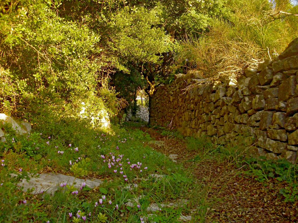
Then the Castello Disco is passed, high on the left. Take a wide, gravel track forking left by a bridge. Follow this for about 700m. passing a modern olive press on left and then a splendidly restored old house with bee boles (if you don’t know what they are, consult the Booklet which comes with the Bleasdale Map). The path is rougher and winds pleasantly before exiting below a church (Ag.Ekaterini) with a rather flamboyant grave-yard, onto a tarmac road. Cross this and a tarmac/concrete track goes up by what used to be Villa Billy with a set of horns over the gate. Follow this, below houses and climbing gently around a bend left, until a stone hut with blue doors is reached. Keep left here along what used to be a walled-path, now a bulldozed track. After crossing the head of a valley, it swings right, leaving the old, stone-walled path going on ahead. (If you want to know where this goes to, together with many other paths which branch off in all directions and lead to some interesting places, you will have to buy The Map!) The bulldozed track after about 100m swings off up left but you now follow straight-on along a narrow, walled path along the flank of the hill, straight-on to Trypitos. To get down to the Arch itself, is not for those who suffer from vertigo! There is a large ‘plaque’ – like a huge book – telling you about it but only in Greek. If you want it in English, guess what? Buy the Booklet/Map!